The Threat to Rural Loudoun
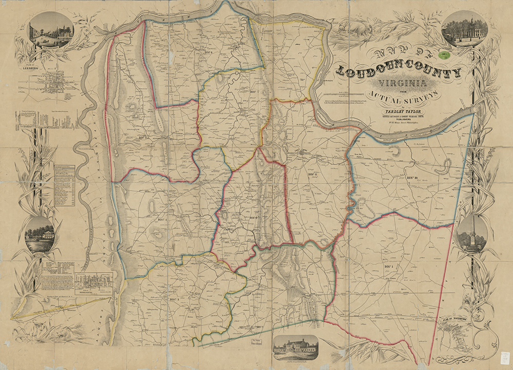
In 1853, Yardley Taylor (a Quaker resident of Lincoln and an ardent abolitionist) drew the first detailed map of Loudoun County. His remarkable work, housed in the Library of Congress, not only identifies all of the County’s roads, but names landowners and occupiers, locates 77 water-powered mills and the many churches and houses of worship that existed at that time. This map was an essential guide for commanders during the Civil War, as they moved their troops and supplies, and plotted their strategies. Today, most of the roads on the Yardley Taylor map are still in existence, proof that the intervening 200 years have not significantly altered this transportation network. Courtesy of Library of Congress, copyright 1854
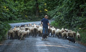
Allen Cochran moves his sheep along Foundry Road to a feeding pasture using his sheep dogs. Western Loudoun's historic dirt road known as Foundry Road outside of the Quaker settlement of Lincoln is one of many roads in Loudoun County that are historic. The vast network containing 300 miles of dirt roads in Western Loudoun are important heritage resources that represent the migration, settlement and travel patterns of the County's early populations. (Photo by Douglas Graham/Loudoun Now)
In the words of our founder, Walter Nicklin, “Affinities, not simply geography, create the Piedmont’s unique regional identity. The Piedmont Virginian strives to give voice to this special—even magical—place in the hopes that it remains so.”
As proponents of preservation of rural areas, open space, and history, we keep an eagle eye on what is happening in Loudoun County currently, as it serves to warn other Piedmont counties of encroaching development. As the fastest-growing county in Virginia, with some of the most spectacular rural landscapes to be found within 50 miles of a major metropolitan area, Loudoun is now a hotbed of battles between those who seek to preserve — in its western environs, at any rate — its history, landscape, and rural way of life, and those who support the westward march of suburbanization and urbanization.
To this end, three Loudoun conservationist residents, writers Charlie and Emily Houston and photojournalist Doug Graham have come together in this issue to present us with an overview of the threats to Loudoun and some of the efforts to preserve its rural areas. Graham’s iconic photography of rural Loudoun graces the pages of these two articles.
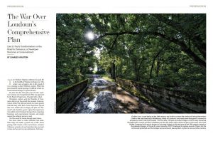
Read "The War Over Loudoun’s Comprehensive Plan"
Like St. Paul’s Transformation on the Road to Damascus, a Developer Becomes a Conservationist
By Charles Houston
Read
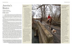
"America’s Routes"
A Passion To Preserve
Loudoun’s Historic Roads
By Emily Houston
Leave a Reply